


Recherche personnalisée
Affichage des articles dont le libellé est Maps. Afficher tous les articles
Affichage des articles dont le libellé est Maps. Afficher tous les articles
dimanche 23 décembre 2012
mercredi 7 décembre 2011
3DEM Visualization Software
3DEM for Win95/98/ME/2000/XP and Windows Vista has the capacity to produce 3D terrain images and flyby animations by leveraging data sources readily available including but not limited to :
 LIDAR Point Cloud (LAS) files
USGS Digital Elevation Model (ASCII DEM) files
USGS Spatial Data Transfer Standard (SDTS DEM) files
NOAA Global Land One-km Base Elevation (GLOBE DEM) files
NASA Mars Orbiter Laser Altimeter (MOLA) files
NASA Shuttle Radar Topography Mission (SRTM) files
Any topographic data file that contains rows and columns of elevation data
USA Photo Maps 2.78
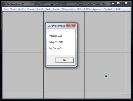
USAPhotoMaps 2.78 downloads aerial photo and topo map data from Microsoft's free msrmaps.com website, saves it on your hard drive, and creates aerial photo/topo maps with GPS accuracy.
TIGER/Line streets
USGS elevation with contour lines
USGS cities, landmarks, etc.
Shows your GPS location
Ham Radio APRS
ATC Approach Control simulator (just for fun)
Full Install of USAPhotoMaps 2.78 ... Download Here (599 KBytes)
What's New as of May 20, 2011 ... Click Here
mercredi 25 mai 2011
Making Maps

This detailed guide to elementary mapping in the age of digital information, Internet resources, and geographic information systems is simple, clear, and comprehensive. The book's lucid style and dramatic, apposite, and often funny illustrations make it a novel and effective resource in a culture where the map is a ubiquitous presence. More than an instruction manual on making maps, it is also a guide to their critical reading and interpretation. Making Maps will be invaluable for users as well as creators of maps at the university level and beyond."--Denis Cosgrove, Department of Geography, University of California, Los Angeles
Making Maps : A Visual Guide to Map Design for GIS
John Krygier PhD, Denis Wood PhD
2005
ISBN-10 : 1593852002
ISBN-13 : 978-1593852009
jeudi 13 janvier 2011
Geological Structures and Maps : A Practical Guide

'This third edition of a well known introductory guide discusses from first principles the most important types of geological structures and their manifestation on geological maps. An ideal text for first year undergraduates and others wishing to acquire these skills.'
Aslib Book Guide
'Geological Structures and Maps is exactly what the title says - an introduction to the geometry of simple structures and what they look like on geologic maps... this book is refreshingly clear and to-the-point.'
Journal of Geological Education
Geological Structures and Maps : A Practical Guide
Richard J Lisle BSc MSc DIC PhD
Publisher : A Butterworth-Heinemann Title
12 Nov 2003
ISBN-10 : 0750657804
ISBN-13 : 978-0750657808
Inscription à :
Articles (Atom)
Message le plus consulté de la semaine
-
 I - ROLES DES FONDATIONS : I - 1 Définition : Un ouvrage quelles que soient sa forme et sa destination, prend toujours appui sur un so...
Recherche personnalisée