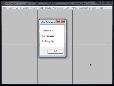
USAPhotoMaps 2.78 downloads aerial photo and topo map data from Microsoft's free msrmaps.com website, saves it on your hard drive, and creates aerial photo/topo maps with GPS accuracy.
TIGER/Line streets
USGS elevation with contour lines
USGS cities, landmarks, etc.
Shows your GPS location
Ham Radio APRS
ATC Approach Control simulator (just for fun)
Full Install of USAPhotoMaps 2.78 ... Download Here (599 KBytes)
What's New as of May 20, 2011 ... Click Here

